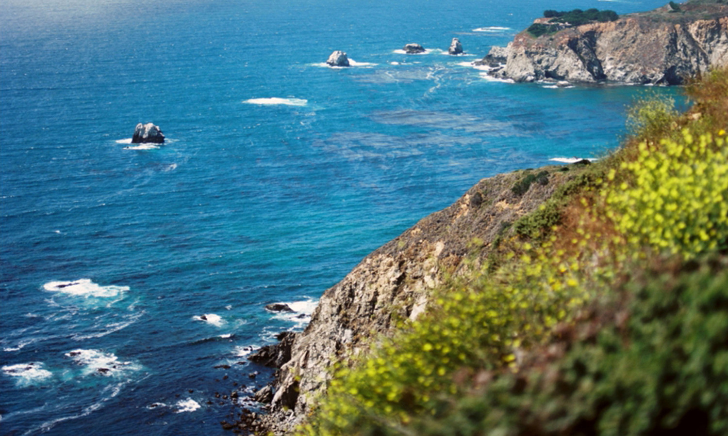
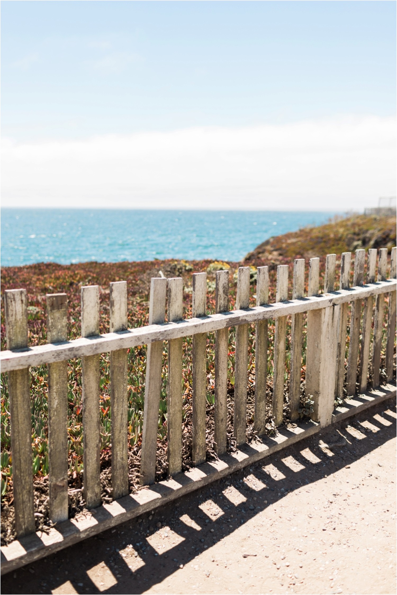
Big Sur is a region on the Central Coast of California. It contains vast wildernesses and breathtaking views as it stretches 90 miles along the rugged Pacific Ocean. It is approximately 150 miles south of San Francisco and 300 miles north of Los Angeles. The area is great for outdoor recreation and contains several state parks, two national wilderness areas and is part of the Los Padres National Forest, all of which include hiking trails. The most common visitors to Big Sur are those just driving through to enjoy the scenery. The next most common activity is hiking/backpacking in the open natural spaces.
California Highway 1 (also known as Pacific Coast Highway) winds through Big Sur flanked by the steep Santa Lucia Mountains to the east and the rocky Pacific Coast to the west. Big Sur begins just south of Carmel and continues south through the small towns of Big Sur Village (between Andrew Molera State Park and Pfeiffer Big Sur State Park), Lucia, and Gorda. It ends in San Simeon (where the Hearst Castle is located). When driving on Highway 1 through Big Sur be sure to stop at the many turnouts and vista points to see the beauty of the area.
Big Sur Village is a mile-long village containing gas stations, roadside markets, lodges and restaurants. Big Sur is known as a destination for the "Merry Pranksters" in the 1960s.
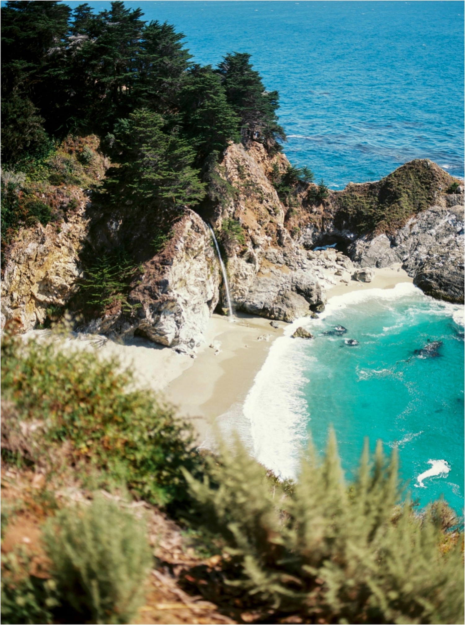
Taking in the Scenery
There are over 80 day hikes, varying in length and difficulty. There are hikes to beaches and vistas along the coast, along rivers and through canyons, and through redwood forests in the Santa Lucia Mts. For longer and more remote adventures, backpacking is an option. There are hundreds of miles of trails through the region, particularly the Ventana Wilderness. Be prepared and know what you are doing before going backpacking in the Wilderness. More information can be found at the Big Sur Ranger Station located 3 miles south of Big Sur Village, 831-667-2315. NOTE: Always check conditions before hiking or backpacking. Hiking areas in Big Sur can be closed down in winter due to mudslides. Know before you go.
Driving the PCH
Big Sur is a remote area accessible only via Highway 1. The easiest and most common way to get there is by car, though some enthusiastic adventurers cycle along the highway. Gas stations are far between and gas is expensive, so best to have plenty of gas when you enter the Big Sur region.
From San Francisco take US-101 south to CA-156 west which merges with Highway 1 20 miles from the beginning of the Big Sur area. Approximately 125 miles and 2-3 hour drive.
From Los Angeles take US-101 north and exit onto Highway 1 toward Morro Bay/Hearst Castle which is 45 miles south of the end of Big Sur. Approximately 250 miles and 4-5 hour drive.
Writing by WikiTravel | Photos by Amy Cherry